News Summary
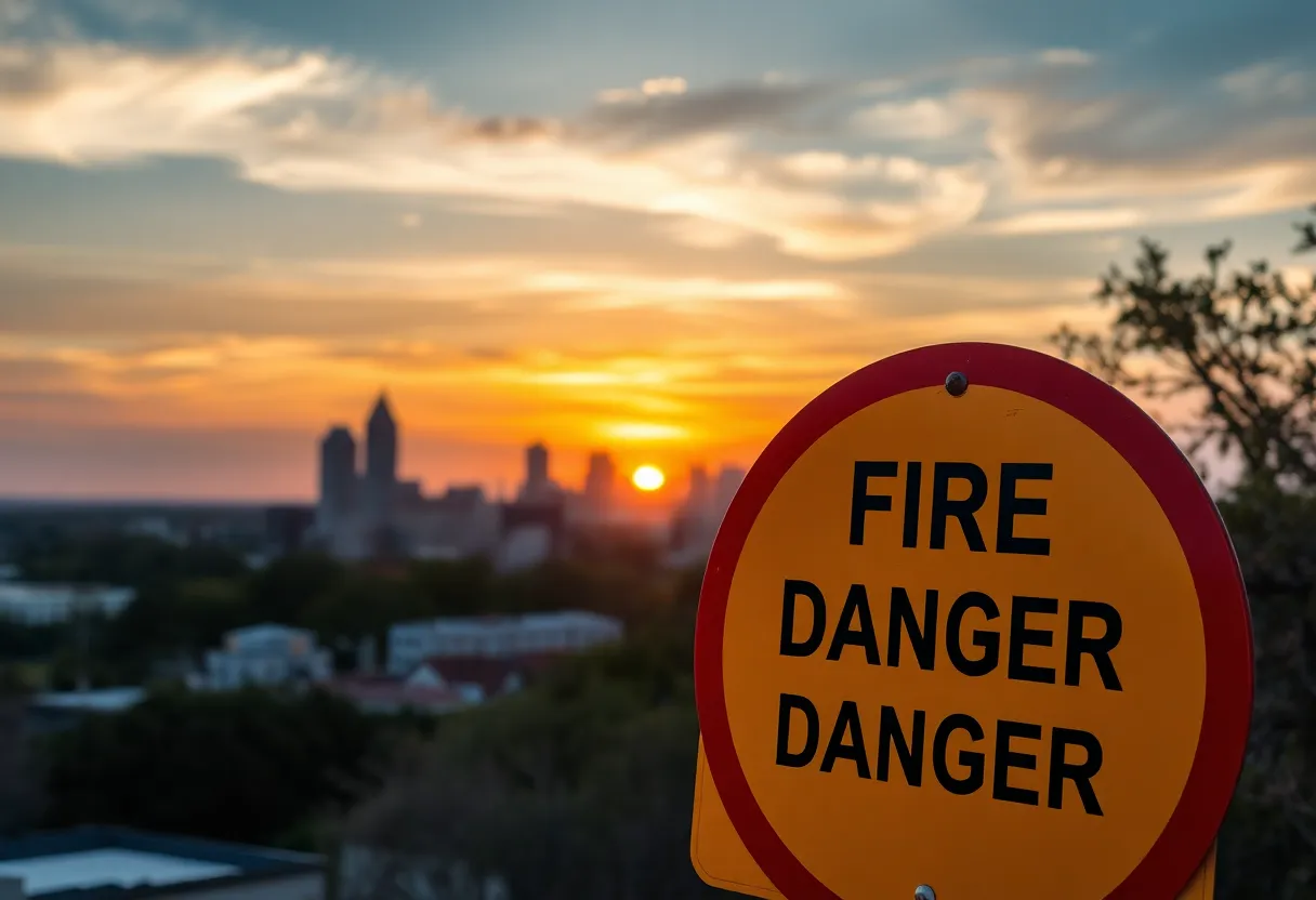
San Antonio is under a Red Flag Warning issued by the National Weather Service due to extreme fire danger. Conditions are ripe for fires with high temperatures, low humidity, and strong winds. Residents are advised to avoid outdoor burning and take precautions with flammable materials. The danger peaks from noon to 9 p.m. this evening. Although temperatures will cool down over the weekend, fire risks will still linger. Residents are advised to stay vigilant. Don’t forget to enjoy the total lunar eclipse tonight while keeping fire safety in mind.
Red Flag Warning Issued for San Antonio!
Hey, San Antonio residents! Buckle up because the weather is throwing a bit of a curveball our way. The National Weather Service has officially issued a Red Flag Warning for our lovely city and the I-35 corridor, and it’s all about that sizzling fire danger! The warning will be in effect until 9 p.m. tonight, so let’s break down what that means for you and your weekend plans.
What Makes Today So Dangerous?
So, what’s got everyone buzzing? It turns out, **conditions are ripe for any fire that starts to spread like wildfire**. With west winds blowing anywhere from 10 to 20 mph, and gusts revving up to a roaring 35 mph, it’s crucial to stay alert. On top of that, humidity is expected to drop to a bone-dry 12%. For reference, that’s like standing in the desert!
If you’re sensing the heat, you’re right! Temperatures are expected to soar to a steamy 93°F today, making it one of the hottest days we’ve seen this season. If you have any outdoor plans, it might be wise to rethink them, because experts are warning against outdoor burning. Additionally, be sure to **properly dispose of cigarettes** and secure anything flammable in your yard.
Peak Danger Times
If you’re eyeing the clock, keep this in mind: the fire danger will be at its highest from noon to 9 p.m. today. With the heat and those *potentially gusty winds* of around 30-40 mph, we’re looking at a time frame where even the most minor spark could kick off some serious trouble.
Weekend Weather Outlook
But wait, here comes a twist! As we head into Saturday, temperatures are expected to cool down, hitting the upper 70s—a nice break, right? However, don’t let your guard down just yet! Winds could ramp up again, with gusts reaching 35-45 mph, so fire dangers could linger even with the cooler temperatures. That’s right, we need to stay vigilant through the weekend, folks!
Chilly Mornings Ahead
Now, if you’re planning anything for Sunday or Monday, be prepared for chilly mornings! We’ll wake up to temperatures in the upper 40s, thanks to those lower humidity levels. It might just be time to grab those jackets before school drop-offs. Your kiddos might be thankful for the cozy extra layers!
Something Else to Look Up At Tonight!
Looking Ahead
Let’s be smart, San Antonio! Enjoy the weekend, soak in that cool weather, and don’t forget that beautiful moon. Stay safe out there!
Deeper Dive: News & Info About This Topic
HERE Resources
San Antonio Welcomes a New Dual-Brand Restaurant
Red Flag Warning for Texas: Wildfire Risks Loom Large
Concerns and Innovations Surround AI at SXSW Conference
Red Flag Warning for San Antonio and Hill Country
San Antonio’s Weather: A Wild Ride This Week!
Severe Winds and Drought Cause Brush Fires in San Antonio
Wildfires Cause Chaos in San Antonio: Evacuations and Damage Reported
Fire Devastates Besame Cocktail Bar in San Antonio
San Antonio Faces Uncertainty Amidst Trump Administration Changes
Family-Friendly Activities in San Antonio this Spring Break
Additional Resources
- News 4 San Antonio: Winter Storm Watch
- Wikipedia: Weather Warning
- Fox San Antonio: Arctic Cold Alert
- Google Search: Red Flag Warning
- KSAT: Spring Forecast
- Google Scholar: Fire Weather Alert
- Country Herald: Red Flag Warning
- Encyclopedia Britannica: Fire Weather Conditions
- KENS 5: Weather Warning
- Google News: Texas Weather Alert