News Summary
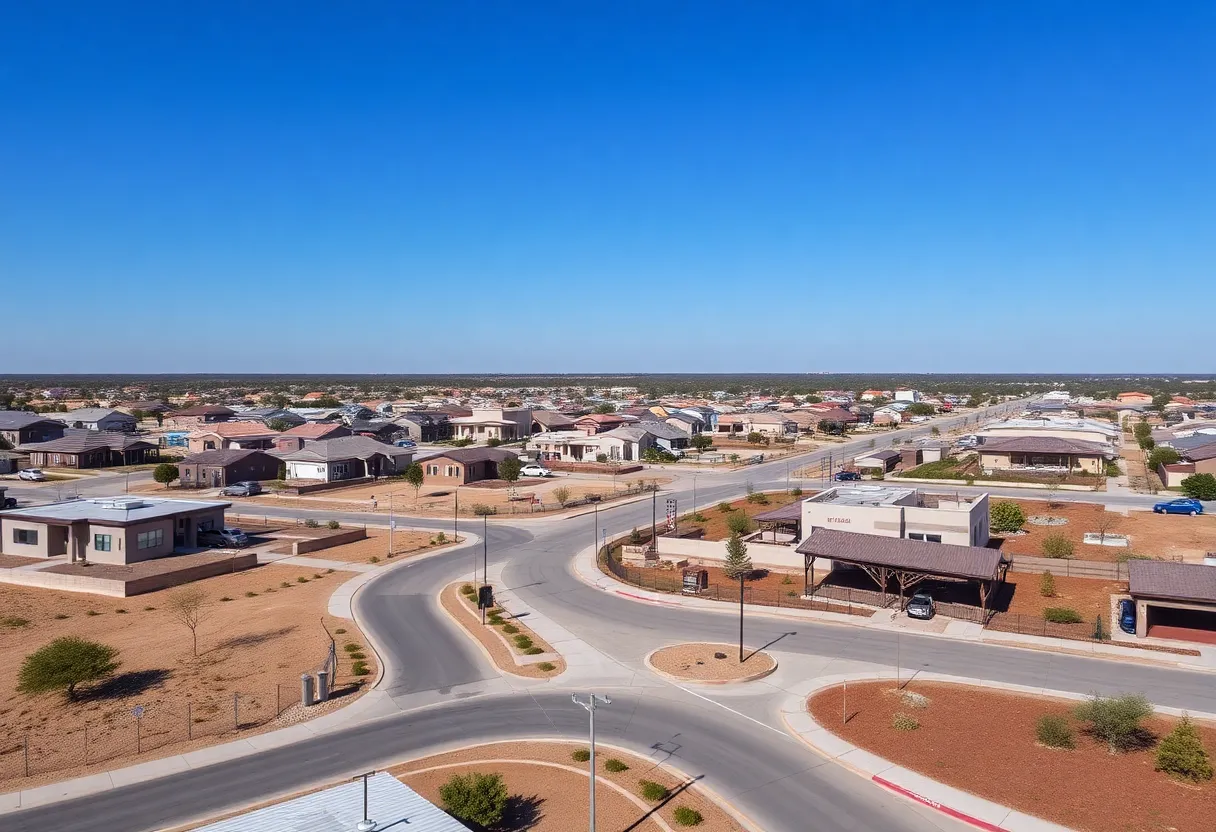
The Pikes Peak Region is experiencing a significant drop in temperatures, returning to winter conditions with highs in the 30s and potential snow accumulations. Winter storm warnings are active, particularly for those heading to the mountains. While a brief warm-up is anticipated on Monday, cold air and more snow are forecasted to follow, making this week a true winter rollercoaster. Residents are encouraged to prepare for single-digit lows later in the week.
Cold Weather and Snowback in the Pikes Peak Region
Well, folks, grab your warm coats and scarves because the Pikes Peak Region is waking up to a chilly morning with temperatures hanging around the 20s. Yes, that’s right! It’s starting to feel more like winter after a spell of unseasonably warm weather. Don’t plan on shedding those layers just yet; today’s afternoon highs are expected to reach only the high 30s to low 40s in Colorado Springs, Pueblo, and the Eastern Plains.
Winter Storm Warnings Are Here
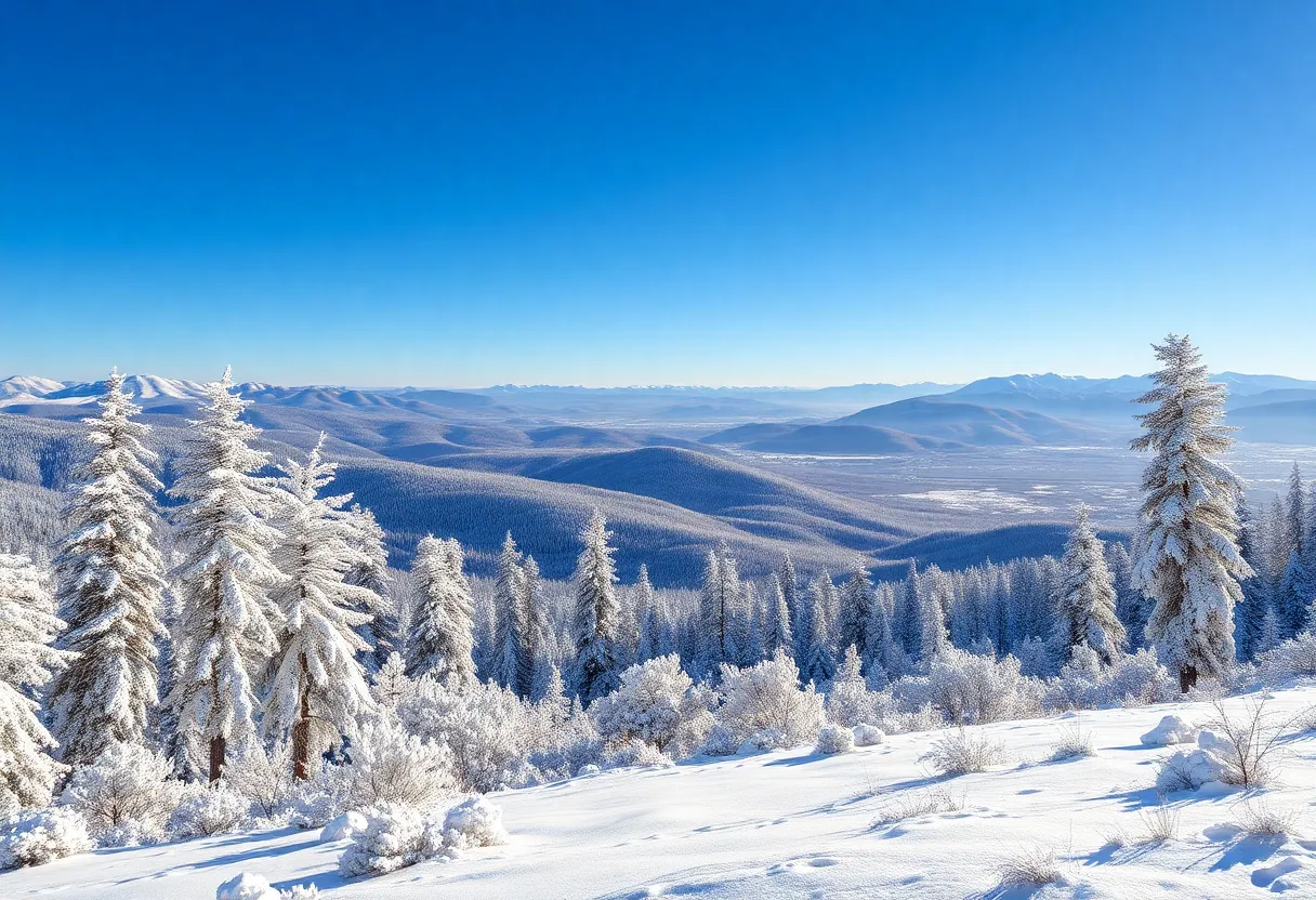
And if you’re heading to the high country, be aware that winter storm warnings are active until tonight. Snow showers are making their way across I-25 and the plains, showing up as early as noon. Expect some light accumulations, ranging from about a trace to a few inches—so better keep that shovel handy just in case!
What’s in Store for Sunday?
As we roll into Sunday, it looks like the weather will dry out a bit, but don’t get too comfortable, as those cold temperatures will stick around. Highs will only reach the mid-30s. While the winds will calm down from today, the chill will still be present, making it feel just a tad cooler than what your thermometer might say.
A Warm-Up is Coming!
But hang tight, because we have some warmer weather headed our way! On Monday, temperatures will bounce back into the high 40s to low 50s for Colorado Springs and Pueblo. However, higher winds are anticipated, with gusts ranging from 20-30 mph, so even with warmer temps, expect wind chills to make it feel about 10 degrees colder.
More Snow on the Horizon
Just when you thought we were done with the snow, a new weather system is lurking, expected to roll in Monday night into Tuesday, bringing another round of snow to the Pikes Peak Region. This could mean **more exciting snow totals** in future forecasts, as models will be adjusting over the next day!
This Week’s Temperature Rollercoaster
Looking at the week ahead, brace yourself for a cold front that will sweep through Monday night. Highs on Tuesday and Wednesday will take a dive into the low to mid-20s, so it might be a good idea to stock up on hot cocoa and warm blankets! Another light snow event is also expected on Wednesday, adding to that cozy winter feel.
Prepping for the Coldest Mornings
Thursday morning will bring what’s being called a modified Arctic air mass, so you know what that means—single-digit lows! If you have any outdoor plans, make sure to bundle up and consider rescheduling if you can! But there’s good news on the horizon, as conditions are set to warm up by the end of the week, giving us something to look forward to.
So, to recap: keep those jackets at the ready, embrace the wintery vibes, and enjoy those snowflakes! Stay warm, and may your weekend be full of hot drinks and cozy evenings. Your weather updates will continue to provide valuable insights as we navigate through this ever-changing winter weather.
Deeper Dive: News & Info About This Topic
- Colorado Springs Gazette
- Wikipedia: Weather in Colorado
- KKTV 11 News
- Google Search: Pikes Peak weather
- Fox 21 News
- Google Scholar: Pikes Peak weather
- KRDO News
- Encyclopedia Britannica: Colorado weather
- KOAA 5 News
- Google News: Pikes Peak weather